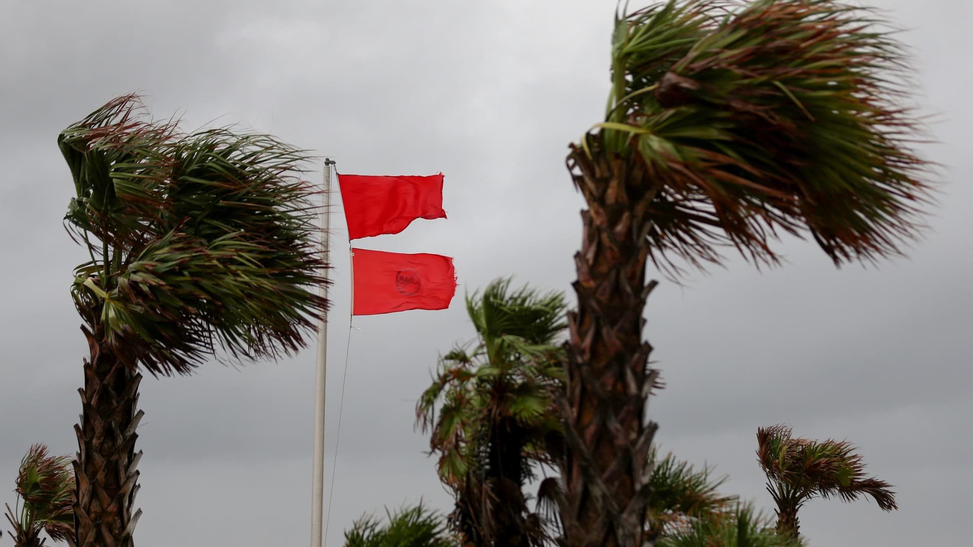

Jonathan Bachman | Reuters
Cities across the eastern U.S. are preparing for a major storm system that will damper weekend plans when it brings torrential rain, high winds and severe thunderstorms to the East Coast.
The system will develop in the Gulf of Mexico Saturday and become a prolific rain and wind maker as it travels toward the eastern seaboard, with impacts expected to last through Monday.
There are already flood and wind alerts for portions of Florida. The severe weather could bring a few possible tornadoes, The Weather Channel said Saturday morning in a post on X.
Florida Power & Light Company, the largest power utility in the state, said it was responding to outages caused by the storm.
“We are safely and quickly responding to outages caused by severe weather impacting parts of Florida, including heavy rain and wind gusts near tropical-storm-force strength,” the company said in a post on X, telling people to stay away from downed power lines and damaged electrical equipment.
Just over 7,000 customers were without electricity as of late Saturday morning, according to PowerOutage.us.
On Sunday, torrential rain is expected for nearly the entire state of Florida. Severe thunderstorms that could bring isolated nocturnal tornadoes in parts of the state, including Tampa and Orlando, are also possible.
Throughout Sunday, the storm will move up the East Coast as it intensifies. Heavy rain and strong winds are expected on the Mid-Atlanta coast.
In New York, rain will begin late Sunday morning and last through Monday night. The National Weather Service issued a high wind watch Saturday for Brooklyn, Queens, Long Island, coastal Connecticut and New London County, the NWS said in a post on X.
Wind advisories were issued for Manhattan, the Bronx, Staten Island, southern Westchester and most of interior southern Connecticut, the NWS said.
The New York State Division of Homeland Security & Emergency Services urged everyone to be prepared “for a weather system this weekend that could produce up to three inches of rain & cause flooding in parts of the Mid-Hudson Valley, including the eastern Catskills, southern Capital Region & potentially parts of Long Island.”
Gov. Kathy Hochul said her office will be “closely monitoring conditions” and will be ready to assist local governments should flooding occur.
Over in Boston, it was a sunny but cloudy day on Saturday, the National Weather Service for Boston said in a post on X. The NWS warned, however, that conditions will begin to deteriorate late Sunday into Monday when the storm “brings drenching precipitation and gusty winds to southern New England.”
24World Media does not take any responsibility of the information you see on this page. The content this page contains is from independent third-party content provider. If you have any concerns regarding the content, please free to write us here: contact@24worldmedia.com

5 Business Sectors Where Safety Glasses Are Essential

Annoying Things You Can Keep Out of Your Home

Easy Ways You Can Improve Your Pasture’s Quality

Mistakes You Must Avoid on Your Next Construction Project

Tips for Keeping Your Business’s Equipment Around for Longer

The Biggest Car Owner Mistakes You Must Avoid

Why Renting Construction Equipment Is Best

Beat the Heat: Summer Maintenance Tips for Forklifts

Monday’s stocks to buy include Apple, Nvidia, Tesla, Shopify and more

How to Tell If Your VPN Is Working Properly